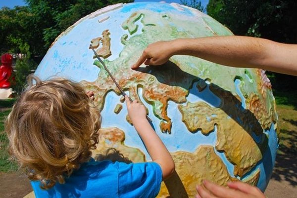
Let’s learn how to observe, discuss, and draw a map. With this hands-on activity, students learn how to identify different elements on a map like mountains and oceans, that each map has a scale and cardinal points. They also learn how modern maps are made using aerial photographs or GPS.
Resource Link
Activity Information
Big Ideas
Source: AstroEdu – International Astronomical Union