Feb 5, 2026 | Big Ideia 1, OAE, Resource
In this hands-on activity, students will imagine themselves as a 9th century Viking who has to use the Sun to navigate across the North Sea. They will build their own navigational tool, test its functionality and simulate a voyage from southern Scandinavia to...
Feb 5, 2026 | Big Ideia 1, OAE, Resource
With this activity, the students will learn how the Arabian sailors navigated at Sea many centuries ago, building and learning how to use a kamal, a simple tool to measure the elevations of stars and our position on Earth. This activity uses the example of the kamal...
Feb 5, 2026 | Big Ideia 1, OAE, Resource
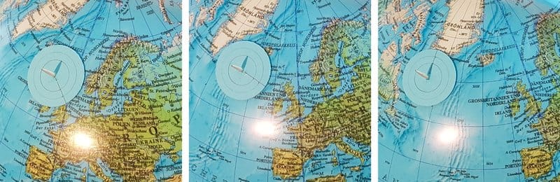
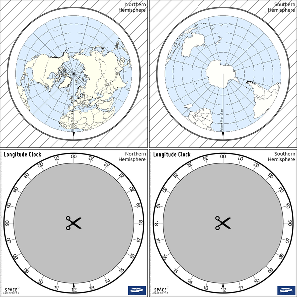
This activity highlights the navigational challenges in determining longitude from time measurements. Students build their own longitude clock that visualises in a simple way how to determine longitude via time measurements. They practise basic math, understanding the...
Feb 5, 2026 | Big Ideia 1, OAE, Resource
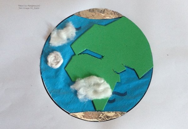
Learn how to build a tactile version of the Earth using cheap, household items andhow to use this model to identify the different characteristics of the planet. This cheap, tactile version of our planet is a great resource to explore its features for both visually...
Feb 5, 2026 | Big Ideia 1, OAE, Resource
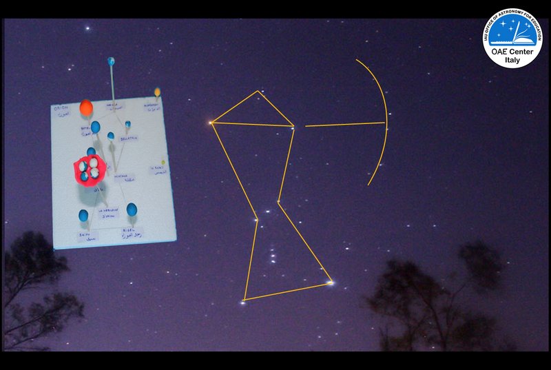
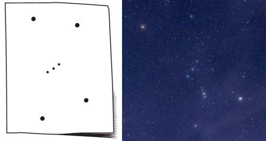
Looking at the night sky, all civilizations (ancient and modern ones) have identified many different shapes that they have called constellations. But what are constellations? Are they formed by stars that are really near one to the other? We will learn about...
Feb 5, 2026 | Big Ideia 1, OAE, Resource
Through a hands-on practical, students learn what a constellation looks like by understanding that a three-dimensional object looks different depending on our perspective. They learn that the stars in a constellation are far apart and not in the same plane. Resource...